|
Cruising Log for Week 3:
July 28 - August 3, 2002
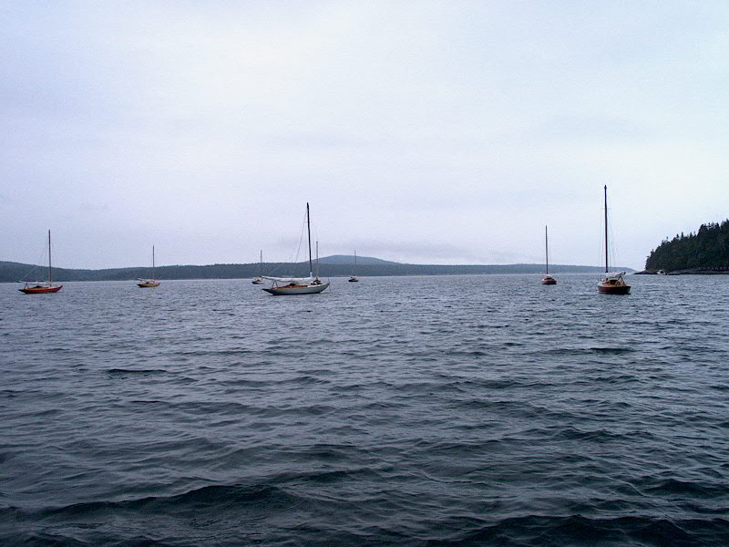
Sunday 7/28: Sorrento -
Sand Cove (Winter Harbor) (Rhumb Line Distance: 8.94 nm) PDF
Route Chart Harbor Detail
Chart
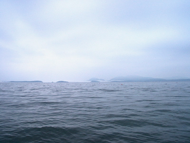
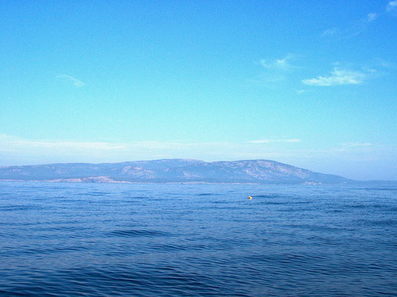
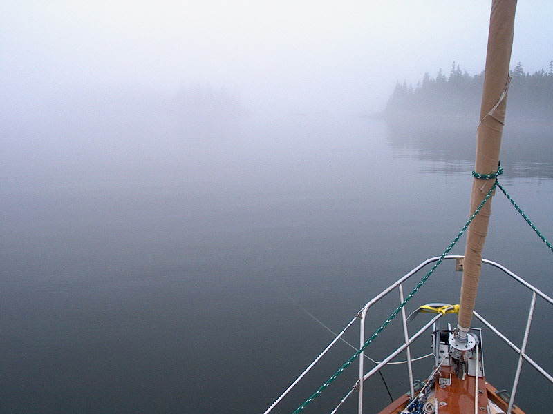
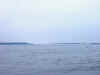
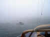
 Around 0830, we were just gearing
up to get going and head down to Winter Harbor, on Schoodic Point, and I had the
course all set and was just getting ready to go...when I looked out the hatch
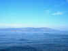
and saw that fog had come in, obscuring the outer islands in the bay and Bar
Harbor. Shoot! We decided to hang back and wait a while, to see what
the weather was going to do. The run to Winter Harbor is short, but we saw
no need to leave our comfortable mooring in a beautiful place to head out into
the fog. Around 0830, we were just gearing
up to get going and head down to Winter Harbor, on Schoodic Point, and I had the
course all set and was just getting ready to go...when I looked out the hatch
and saw that fog had come in, obscuring the outer islands in the bay and Bar
Harbor. Shoot! We decided to hang back and wait a while, to see what
the weather was going to do. The run to Winter Harbor is short, but we saw
no need to leave our comfortable mooring in a beautiful place to head out into
the fog.
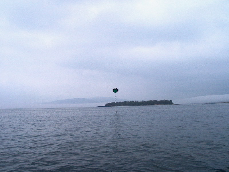
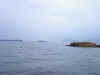
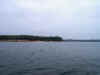
 Later in the morning, I rowed around a
bit, rowing outside the protective islands in Sorrento to see what was going on
further down the bay, where we would he heading if we decided to leave. I
could see the fog oozing around the islands, the way it does, particularly
through the gap that our course would take us. It looked like we would end
up staying in Sorrento for yet another day, even though we were ready to move
on. We had some other options, including Sullivan (just around the corner
and up a little river, but there wasn't much of a harbor there and reportedly a
lot of current--even some reversing falls, supposedly), or Flanders Bay, or
Stave Island Harbor--none of which offered much in the way of protection,
although they are assuredly beautiful. Again, we decided our comfortable
mooring was the better option at the moment. Later in the morning, I rowed around a
bit, rowing outside the protective islands in Sorrento to see what was going on
further down the bay, where we would he heading if we decided to leave. I
could see the fog oozing around the islands, the way it does, particularly
through the gap that our course would take us. It looked like we would end
up staying in Sorrento for yet another day, even though we were ready to move
on. We had some other options, including Sullivan (just around the corner
and up a little river, but there wasn't much of a harbor there and reportedly a
lot of current--even some reversing falls, supposedly), or Flanders Bay, or
Stave Island Harbor--none of which offered much in the way of protection,
although they are assuredly beautiful. Again, we decided our comfortable
mooring was the better option at the moment.
 By
1100 or so, though, the sun started to break through, and I could see that the
fog had receded again--no sign of it at all, except some whispies around the
Porcupine Islands near Bar Harbor. Heidi and I decided it was time to give
our route a shot, so we readied the boat (not much to do, really) and dropped
the mooring at about 1130 and powered south through the bay towards Stave Island
and the little inside pass below and amongst the islands outside of Grindstone Neck.
The wind was light to nonexistent for most of the trip, and on the nose for the
rest (which was only right at the end anyway...yes, cruising involves a lot of
motoring if you want to go anywhere). By
1100 or so, though, the sun started to break through, and I could see that the
fog had receded again--no sign of it at all, except some whispies around the
Porcupine Islands near Bar Harbor. Heidi and I decided it was time to give
our route a shot, so we readied the boat (not much to do, really) and dropped
the mooring at about 1130 and powered south through the bay towards Stave Island
and the little inside pass below and amongst the islands outside of Grindstone Neck.
The wind was light to nonexistent for most of the trip, and on the nose for the
rest (which was only right at the end anyway...yes, cruising involves a lot of
motoring if you want to go anywhere).
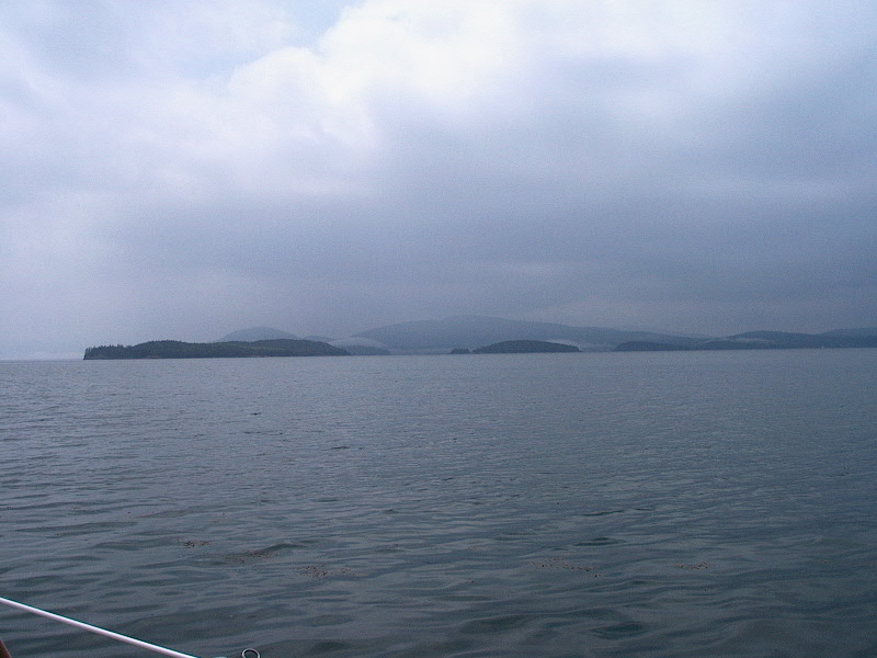
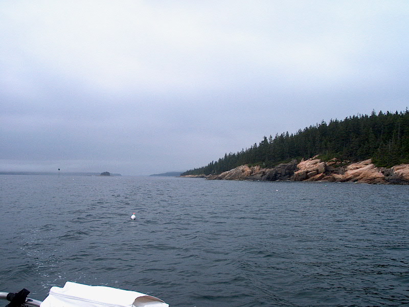
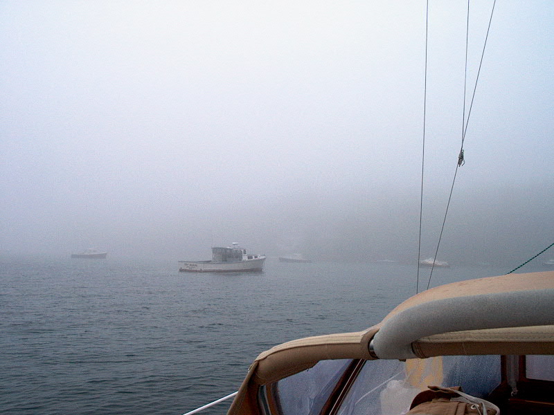
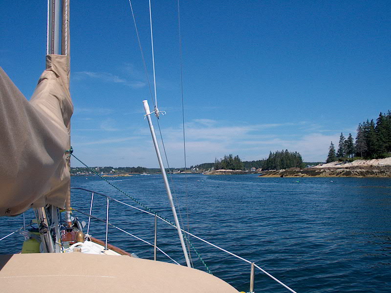
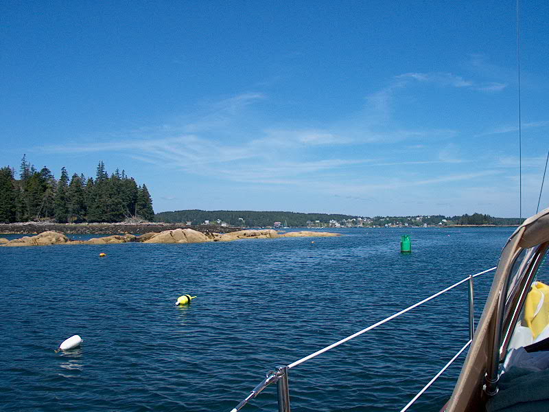
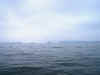
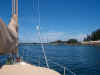
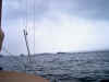 As
we got further out the bay, I could see some signs of fog further offshore, and
I hoped it would stay there for the duration of our trip. Of course, we
were bucking the incoming tide, at about maximum flood, which knocked at least a
knot off our speed. However, the fog did not bother us. We had an
uneventful trip down, the only nervous moments coming when we neared the very
narrow cut between Pulpit Rock and Grindstone Neck. I was a little nervous
here because the regular chart for the area did not go into any detail in this
area at all--the scale was too small--so I couldn't really consult my chart to
see what was upcoming and what the hazards might be. My Cap'n nav software
program featured the large scale chart for the Winter Harbor area, which chart I
had used in my planning and would eventually come up on the screen of the As
we got further out the bay, I could see some signs of fog further offshore, and
I hoped it would stay there for the duration of our trip. Of course, we
were bucking the incoming tide, at about maximum flood, which knocked at least a
knot off our speed. However, the fog did not bother us. We had an
uneventful trip down, the only nervous moments coming when we neared the very
narrow cut between Pulpit Rock and Grindstone Neck. I was a little nervous
here because the regular chart for the area did not go into any detail in this
area at all--the scale was too small--so I couldn't really consult my chart to
see what was upcoming and what the hazards might be. My Cap'n nav software
program featured the large scale chart for the Winter Harbor area, which chart I
had used in my planning and would eventually come up on the screen of the 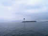 computer,
which I had hooked into the GPS today just in case the fog did roll back
in. Finally, the software changed the chart over, and I could see enough
ahead to allay my worries about the narrow passage. (It was no problem at
all...). I have to say, this Cap'n software is really excellent...I never
rely on it, and don't even normally use if for anything but planning purposes
(for which it is outstanding), but when I do use it, all interfaced
with the GPS, it just amazes me to see my little ship icon right on the NOAA
chart on the screen. As long as everything continues working, you'd have
to be an idiot to get lost in the fog with this at your disposal. Way
cool. For practice and familiarization, I also had the radar on today. computer,
which I had hooked into the GPS today just in case the fog did roll back
in. Finally, the software changed the chart over, and I could see enough
ahead to allay my worries about the narrow passage. (It was no problem at
all...). I have to say, this Cap'n software is really excellent...I never
rely on it, and don't even normally use if for anything but planning purposes
(for which it is outstanding), but when I do use it, all interfaced
with the GPS, it just amazes me to see my little ship icon right on the NOAA
chart on the screen. As long as everything continues working, you'd have
to be an idiot to get lost in the fog with this at your disposal. Way
cool. For practice and familiarization, I also had the radar on today.
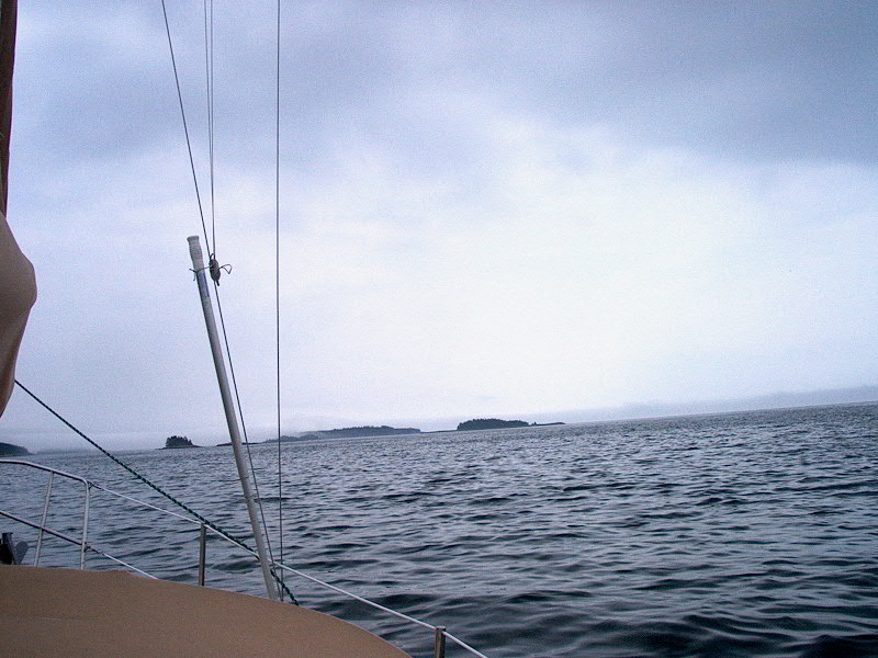
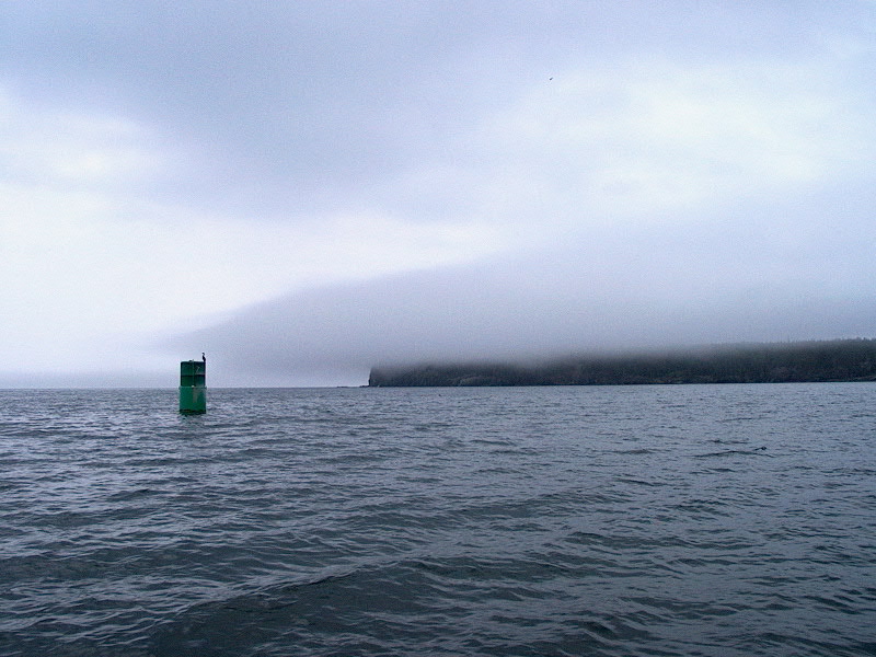
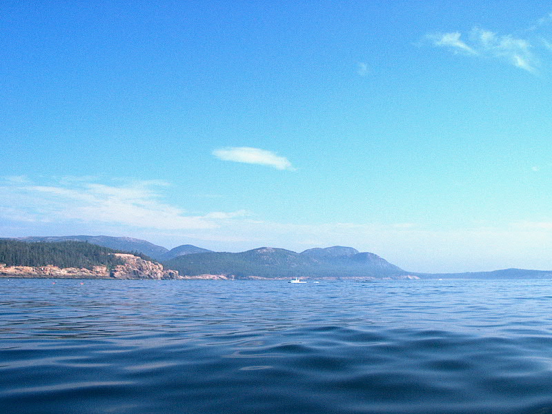
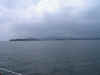
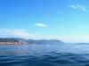
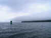 Along
the way, some minor fog did roll in and out, tending to stay high and roll over
the nearby islands, but leaving the tops of the mountains of Mount Desert
visible in the distance. Cool stuff. Along
the way, some minor fog did roll in and out, tending to stay high and roll over
the nearby islands, but leaving the tops of the mountains of Mount Desert
visible in the distance. Cool stuff.
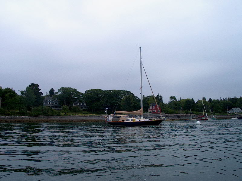
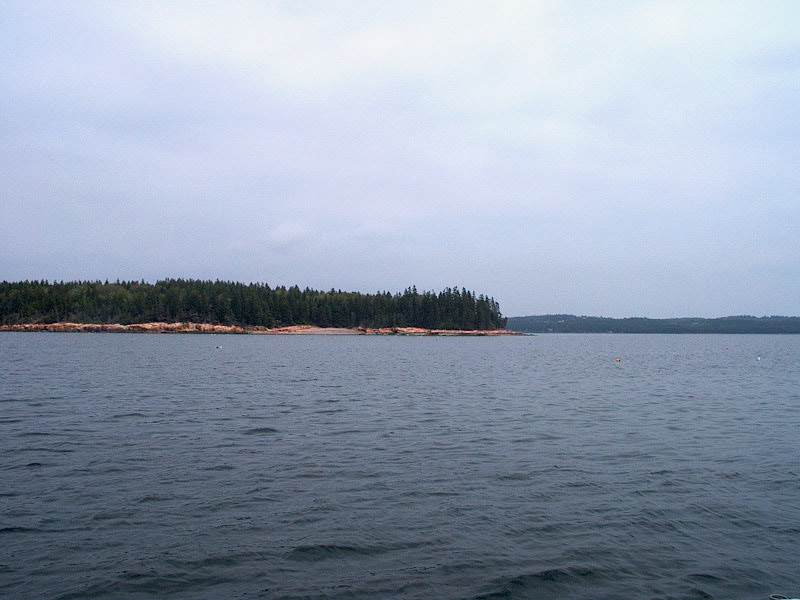
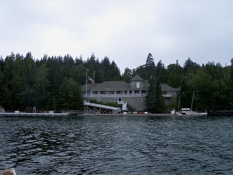
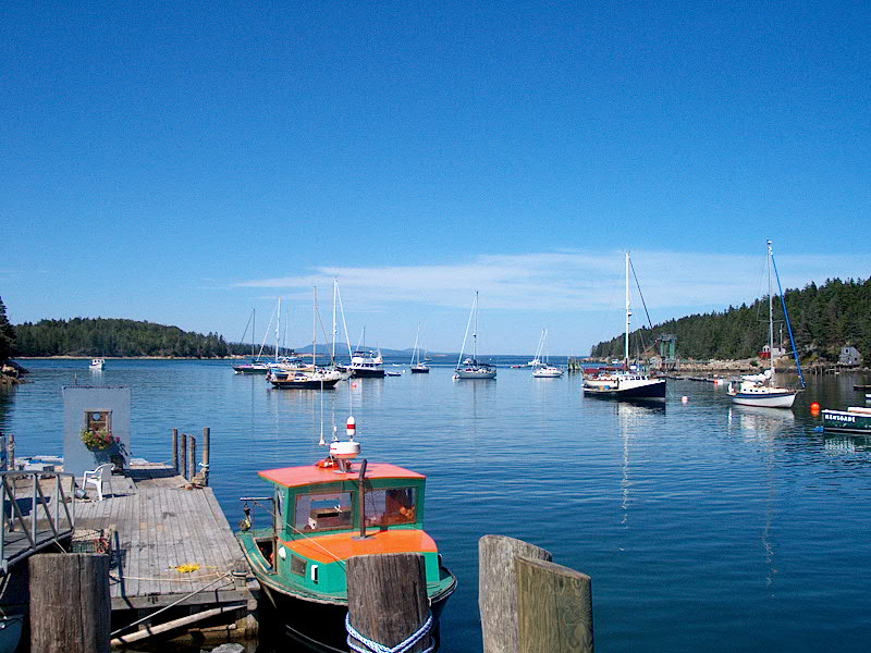
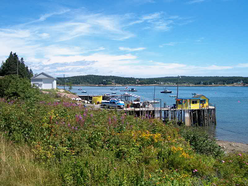
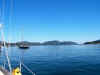
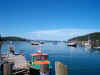
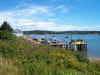
We arrived in Sand Cove and
picked up a guest mooring at the Winter Harbor Yacht Club at around 1335, after
a pleasantly uneventful trip. The sun even came out once we arrived, which
really warmed things up. The scenery was beautiful, but we were saddened
to discover that WHYC charges $2 for the showers. We declined, since we
intend to do an errand/service/cleanup stop in Southwest Harbor tomorrow or the
next day at the Hinckley yard anyway. (As it turned out, we could 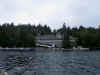 have
snuck the showers probably anyway.) WHYC has a pretty cool shingled
clubhouse right on the steep edge of the harbor, with a beautiful fleet of
Winter Harbor 21s, designed in 1921 by Starling Burgess of the J-boat Ranger
fame, moored out front in a multitude of colors. Beautiful,
gaff-rigged sloops. Later, we briefly went ashore to check out the
clubhouse (nice), then returned to the boat for the afternoon. The fog
rolled in and out throughout the afternoon, depending on the wind
strength. It's a pretty place, and I'm sure the town of Winter Harbor,
about a mile away by road, is interesting, and if we end up having to stay here
an extra day because of a weather delay, we will probably check it out. have
snuck the showers probably anyway.) WHYC has a pretty cool shingled
clubhouse right on the steep edge of the harbor, with a beautiful fleet of
Winter Harbor 21s, designed in 1921 by Starling Burgess of the J-boat Ranger
fame, moored out front in a multitude of colors. Beautiful,
gaff-rigged sloops. Later, we briefly went ashore to check out the
clubhouse (nice), then returned to the boat for the afternoon. The fog
rolled in and out throughout the afternoon, depending on the wind
strength. It's a pretty place, and I'm sure the town of Winter Harbor,
about a mile away by road, is interesting, and if we end up having to stay here
an extra day because of a weather delay, we will probably check it out.
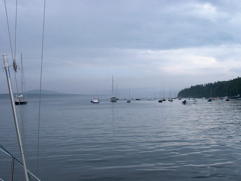
Monday 7/29: Sand
Cove (Winter Harbor) Harbor
Detail Chart
It turned out to be a miserable
night, and we were very glad for our secure mooring. It rained and
blew quite hard from the south and southwest, creating some wind chop and a
slight underlying swell, but not too bad. Plus it was dark and foggy--and
all around unpleasant night outside. Inside the boat, we were warm and
cozy, with the knowledge that we were safe and secure.
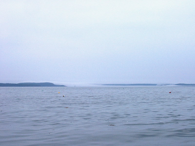
 The day dawned foggy, so we were
in a holding pattern. Unfortunately, we had not planned on spending more
than one night here, so the day felt like a little bit of a waste,
somehow. Certainly it wasn't a bad place to be stuck, but our minds (well,
especially mine) were elsewhere. We had laundry on the mind, you see, and
were looking forward to getting clean clothes and some other errands taken care
of. No such luck, it seemed. Throughout the morning, the fog
remained thick--sometimes very thick indeed--and there were intermittent rain
showers. During the early afternoon, though, the sun started breaking
through, and the sky became bright. We had hopes of a late-day
clearing, which would mean that we could head across Frenchman Bay to Southwest
Harbor at that time--it was only something like 12 miles, so a late start
wouldn't be the end of the world. The day dawned foggy, so we were
in a holding pattern. Unfortunately, we had not planned on spending more
than one night here, so the day felt like a little bit of a waste,
somehow. Certainly it wasn't a bad place to be stuck, but our minds (well,
especially mine) were elsewhere. We had laundry on the mind, you see, and
were looking forward to getting clean clothes and some other errands taken care
of. No such luck, it seemed. Throughout the morning, the fog
remained thick--sometimes very thick indeed--and there were intermittent rain
showers. During the early afternoon, though, the sun started breaking
through, and the sky became bright. We had hopes of a late-day
clearing, which would mean that we could head across Frenchman Bay to Southwest
Harbor at that time--it was only something like 12 miles, so a late start
wouldn't be the end of the world.
I decided that 1500 would have to
be our make or break point--we needed to get off the guest mooring one way or
another, but didn't want to move and anchor if the weather was going to
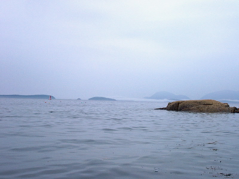
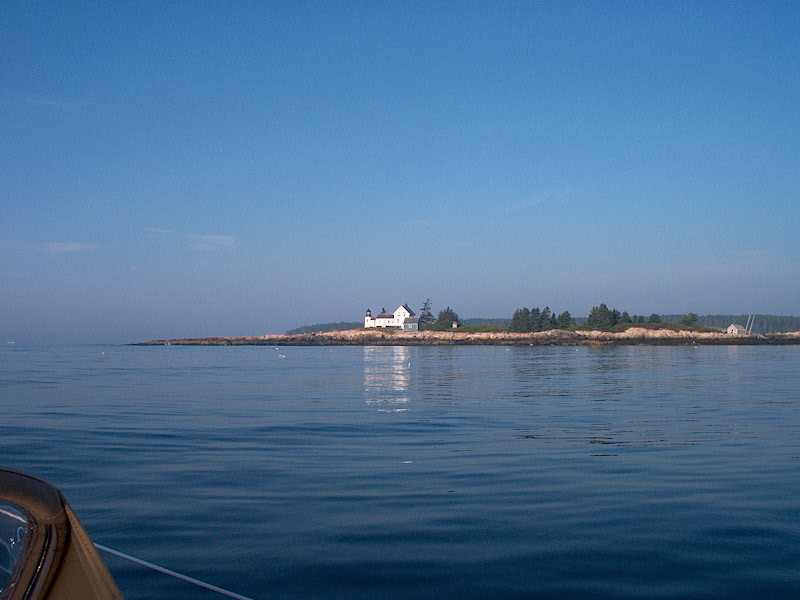
clear. Finally, at about 1430, it looked like it was really clearing--I
could see the fog moving out to sea, and could begin to see the Schoodic
peninsula in the distance. Excited, we decided to give it a go, and
dropped the mooring. For a while, it looked OK. Before we got to the
end of the harbor, however, out near the lighthouse at the end, it became
obvious that the fog was still very thick. We got within 1/8 mile of
the buoy that was our first waypoint, the one at the end of the harbor that
marked the spot where we would begin our turn towards Mount Desert, and still
couldn't get a visual. I had the Cap'n software going, the GPS, and the
radar, and we were comfortable, but decided that it was silly to continue under
these conditions, so we turned around and headed back in. Besides, there
was a good size swell running that would have proved to be uncomfortable or
annoying on 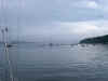 the crossing, so it was just as well. We chose a spot inside
of the moored boats in the cove near where we had been on the mooring and
dropped the anchor without problem. Later in the evening, it did indeed
clear up, and b y 1900 the whole of Schoodic Point was visible. We hoped
for a clear day in the morning so we could get across and continue with our
plans. The night was calm and uneventful, and I was encouraged at a couple
points to look out the hatch and see a bright moon in the clear sky. the crossing, so it was just as well. We chose a spot inside
of the moored boats in the cove near where we had been on the mooring and
dropped the anchor without problem. Later in the evening, it did indeed
clear up, and b y 1900 the whole of Schoodic Point was visible. We hoped
for a clear day in the morning so we could get across and continue with our
plans. The night was calm and uneventful, and I was encouraged at a couple
points to look out the hatch and see a bright moon in the clear sky.
Tuesday 7/30: Sand Cove
(Winter Harbor) - Southwest Harbor/Manset (Rhumb Line Distance: 12.5
nm) PDF Route Chart Harbor
Detail Chart
 I awoke before 0600 to find
bright sun and clear skies, and no sign of fog. Great! I got up
immediately and made coffee, then got Heidi going, and by 0630 we were pulling
up the anchor and getting ready to go. There was no wind. We had the
tide going with us on the way out, which was a bonus, and we were looking
forward to a fast trip across. I awoke before 0600 to find
bright sun and clear skies, and no sign of fog. Great! I got up
immediately and made coffee, then got Heidi going, and by 0630 we were pulling
up the anchor and getting ready to go. There was no wind. We had the
tide going with us on the way out, which was a bonus, and we were looking
forward to a fast trip across.
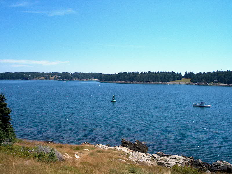
We got it...no problems on the
crossing. There was still some swell, which rocked the boat around a bit,
but otherwise the trip was completely uneventful. The wind remained calm,
and even though we could see fog sitting offshore we had no problems. In
fact, we had a beautiful trip, and soaked in the beautiful scenery that is
Frenchman bay.
We arrived in Southwest Harbor at
the Hinckley Yard and picked up a mooring at 0915. Shortly thereafter, we
rowed ashore to begin our day of errands and chores. On the list:
laundry!, food shopping, and hopefully finding access to a phone line for the
computer so that I could upload the first two weeks' logs and check some
email. But first, a little reconnaissance and some hot showers for Heidi
and I. I paid for the mooring ($30--yikes!).
After our showers, I rowed back
out to the boat alone to pick up the laundry. (Both machines at Hinckley
were empty.) I filled three tote bags to overflowing with laundry, sheets,
and towels and rowed back ashore where Heidi was waiting. We filled both
machines and got things rolling. Then, we wandered over to the Hinckley
Ship's Store where I bought a couple T-shirts and new dog collars. Then, I
inquired at the service office about a computer hookup, and was shown to a
little tiny room that I dubbed the "interrogation room" where I could
hook in. Cool! I rowed back to the boat for the computer, leaving
Heidi, once again, watching the laundry.
As I rowed from the boat to the
dock with the laptop, it began to rain. Lovely. Fortunately, it was
only a light shower. Then, as soon as I stepped onto the dock, I realized
that I had left the power cord for the computer on the boat! Not trusting
the batteries in the slightest, I had to row back out for the cord, after
leaving the computer with Heidi ashore. With the cord in my hand, I
rowed back once again. At this time, I should comment on a couple
things. First, our boat was moored quite a ways from the dock. Also,
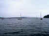
there is a ton of boat traffic in the harbor--this place teems with activity.
Some of this traffic creates huge wakes. Lovely. My final
frustration was that the whole dinghy dock was crammed with these stupid huge
inflatables, which take up a lot of room and also create immense friction that
immediately stops the forward progress of a small fiberglass dinghy when one of
the inflatables is touched at all. This made getting up to the dock
itself quite a challenge. Sigh.
Armed with what I needed, I
headed for the Interrogation Room, where I spent more than an hour and a half uploading
the website (sorry...I put too many pictures in the early logs and they were
taking too long to upload, which is why you don't see some of them. At the
end of the cruise, I'll upload everything properly...I promise!) and
reading/sending some email. Boy, I am spoiled at home with my high speed
cable modem. I have no idea what the connection speed actually was, but my
phone modem in the laptop is only 56K.
After waiting too long for photos
to upload, and determining that the text and other updates had actually loaded,
I cancelled the upload and headed back to the laundry area, where Heidi had been
chatting with some nice folks who were doing the same thing. I heard
through the grapevine that a boat had been involved in a bad collision yesterday
off Deer Isle with a lobster boat, and that it was at the yard. I
wandered to the dock and saw the boat, a center cockpit Hinckley 52, which
was in the water and looked OK, except for the plywood patch on the port side
near the shrouds and a splintered toerail. Later, I overheard more
information, that the forward bulkhead had been accordioned inside, three people
had gone to the hospital, and that the lobster boat apparently came out of the
fog at 20 knots and never even slowed down. This is why we stayed in port
in the fog! Who needs this?
With the laundry finally
done--three huge loads--I rowed the stuff back out to the boat in two trips, and
then hurriedly rowed back so that Heidi and I could catch the 2:28 free bus from
Manset to downtown SW harbor for some shopping. No problem. We had
nearly two hours to kill in SW Harbor before a return bus, so we had a leisurely
ice cream and walked through some of the shops, before doing our grocery shop at
Sawyer's Market, a very nice, if expensive, market. We got some great fish
there--tuna and swordfish--that we couldn't wait to grill up in the
evening. Then, we killed a bit of time before boarding the bus back,
arriving back at the boat by about 1645. Phew...what a day. We were
exhausted, but still had to stow the food and all the laundry. While
working in the cockpit, I noticed a HUGE wake rolling towards us...directly
astern. Geez...isn't there a frigging harbormaster here? This stuff
is unnecessary. The wake came, and we dipped the taffrail beneath
it, scooping water over the poop deck. Yup...it was big.
Finally, the loading was done and
we relaxed with a well-deserved cocktail or two and the fine, delicious, fish
grilled out with fresh asparagus and lots of garlic, and fresh
foccacia. We crashed early and hard. The night was calm and clear
and warm.
Wednesday 7/31:
Southwest Harbor - Frenchboro, Long Island (Rhumb Line Distance: 9.5 nm)
PDF Route Chart Harbor
Detail Chart
 Another glorious morning!
As usual, I was up early to enjoy the ealry morning with coffee and
reading. At about 0815, I rowed ashore with trash and to pick up some ice,
then returned to the boat. After stowing the ice, which involves removing everything
from the icebox and then repacking it, we were ready to go. The
wind picked up from the northwest, quite strongly in the harbor, but it looked
like it would be the perfect direction for heading to Frenchboro, one of our
favorites. I put the main up with a single reef at the mooring, then we
headed out. A little ways down Western Way, I shut down the engine and
rolled out the jib and we had a great sail out the passage, hitting speeds of
nearly 7 knots. We blew by a 37' or so classic yawl and nearly overtook a
Gulfstar 44 or something, though on the reach their longer waterline length paid
off and we couldn't quite pass them. As we reached the end of the Western
Way, the wind lightened and came forward, but it was Another glorious morning!
As usual, I was up early to enjoy the ealry morning with coffee and
reading. At about 0815, I rowed ashore with trash and to pick up some ice,
then returned to the boat. After stowing the ice, which involves removing everything
from the icebox and then repacking it, we were ready to go. The
wind picked up from the northwest, quite strongly in the harbor, but it looked
like it would be the perfect direction for heading to Frenchboro, one of our
favorites. I put the main up with a single reef at the mooring, then we
headed out. A little ways down Western Way, I shut down the engine and
rolled out the jib and we had a great sail out the passage, hitting speeds of
nearly 7 knots. We blew by a 37' or so classic yawl and nearly overtook a
Gulfstar 44 or something, though on the reach their longer waterline length paid
off and we couldn't quite pass them. As we reached the end of the Western
Way, the wind lightened and came forward, but it was  still a great sail, with
the wind remaining the perfect strength and a little bit off a close beat.
We sailed the whole way out to Frenchboro in sparkling blue seas under a crystal
clear sky and bright, warm sun...absolute perfection. A day to put in the memory
banks. I shook out the reef about halfway there, a decision I regretted a
little bit as we neared Frenchboro because the wind became quite strong just
before we got there. No problem, but there was some major weather helm for
a few minutes! still a great sail, with
the wind remaining the perfect strength and a little bit off a close beat.
We sailed the whole way out to Frenchboro in sparkling blue seas under a crystal
clear sky and bright, warm sun...absolute perfection. A day to put in the memory
banks. I shook out the reef about halfway there, a decision I regretted a
little bit as we neared Frenchboro because the wind became quite strong just
before we got there. No problem, but there was some major weather helm for
a few minutes!
 With the sails stowed, we motored
the short distance into the harbor and picked up one of only a couple remaining
moorings at 1130. Once the boat was put to bed, we rowed ashore for our
lobster rolls (they make 'em good here) and peanut butter cups.
Alas...no peanut butter cups, although we were told there would be more by
around 1500 or so. After lunch, we each got one of the excellent ice cream
sandwiches--two fresh (still warm and melty) chocolate chip cookies surrounding
a chunk of vanilla ice cream. Delicious...highly recommended. With the sails stowed, we motored
the short distance into the harbor and picked up one of only a couple remaining
moorings at 1130. Once the boat was put to bed, we rowed ashore for our
lobster rolls (they make 'em good here) and peanut butter cups.
Alas...no peanut butter cups, although we were told there would be more by
around 1500 or so. After lunch, we each got one of the excellent ice cream
sandwiches--two fresh (still warm and melty) chocolate chip cookies surrounding
a chunk of vanilla ice cream. Delicious...highly recommended.
 With that done, we walked down to
the Frenchboro museum at the head of the harbor, always a fun diversion, and
chatted for a while with the lady there. (Surely one of the Lunts...but I didn't
ask.) We returned to the boat for a relaxing afternoon watching the
comings and goings of cruising boats, lobster boats, and other small craft--this
is a charmingly busy place! At 1500, I rowed back ashore for peanut butter
cups, which weren't even cut yet. But I waited...and they were good. With that done, we walked down to
the Frenchboro museum at the head of the harbor, always a fun diversion, and
chatted for a while with the lady there. (Surely one of the Lunts...but I didn't
ask.) We returned to the boat for a relaxing afternoon watching the
comings and goings of cruising boats, lobster boats, and other small craft--this
is a charmingly busy place! At 1500, I rowed back ashore for peanut butter
cups, which weren't even cut yet. But I waited...and they were good.
Thursday 8/1: Frenchboro
- Burnt Coat Harbor (Rhumb Line Distance: 3.94 nm) PDF
Route Chart Harbor Detail
Chart
Happy August.
Yup, another shortie. We
thought that Burnt Coat, on the southern side of Swans Island, looked like an
interesting place to visit, and there's a neat "backdoor" passage into
the harbor from the east--coincidentally, the direction we were approaching from
Frenchboro, right across the Southern Approach from the entrance to Burnt Coat.
 We had a relaxing morning in
Frenchboro, with no rush to leave--after all, the passage promised to be only
about an hour or less. It was another beautiful day--this is so hard to
take! At about 1010, we dropped our mooring and motored out of the harbor
through the western side, and proceeded across the bay towards the narrow
passage that would lead us into Burnt Coat. The wind was extremely light,
once again, so we motored the whole way. We had a relaxing morning in
Frenchboro, with no rush to leave--after all, the passage promised to be only
about an hour or less. It was another beautiful day--this is so hard to
take! At about 1010, we dropped our mooring and motored out of the harbor
through the western side, and proceeded across the bay towards the narrow
passage that would lead us into Burnt Coat. The wind was extremely light,
once again, so we motored the whole way.
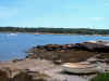
The inside passage was very cool,
and scenic with the bold granite shores ringed with spruce trees. It was
nowhere near as narrow as it 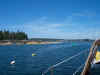 appears on the chart, which is a pretty small scale
and doesn't show much detail for this route. One of our cruising guides
made it sound simply terrible--go only with local knowledge and on a rising
tide, and so on and so forth--the worry-wart cruising guide, I called it.
If all you did was heed the advice of cruising guides, you'd miss out on a
lot. As it was, the passage was quite straightforward with plenty of room,
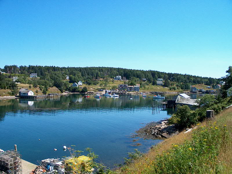
and very much worth it. At the end, it opened up into beautiful Burnt Coat
harbor, which was much nicer than I had anticipated. I had been here long
ago, but had no memories of it. We thought it was beautiful, and picked up
a mooring near the town at 1110. appears on the chart, which is a pretty small scale
and doesn't show much detail for this route. One of our cruising guides
made it sound simply terrible--go only with local knowledge and on a rising
tide, and so on and so forth--the worry-wart cruising guide, I called it.
If all you did was heed the advice of cruising guides, you'd miss out on a
lot. As it was, the passage was quite straightforward with plenty of room,
and very much worth it. At the end, it opened up into beautiful Burnt Coat
harbor, which was much nicer than I had anticipated. I had been here long
ago, but had no memories of it. We thought it was beautiful, and picked up
a mooring near the town at 1110.
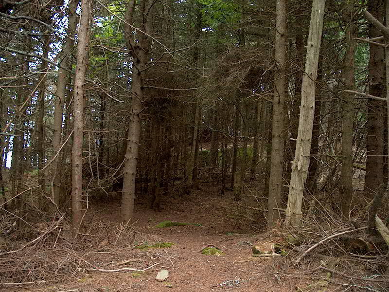
 After a short while, we rowed
ashore and hiked down to the lighthouse on Hockomock Point, a very pleasant
walk. The vistas from the point were extraordinary, and we spent a bit of
time just soaking it all in before returning to the boat for lunch. Then
we had a pleasant afternoon on the boat, watching all the activity on the
lobster boats as they came in for the day. There is lots of activity
here, and our impression was that Swan's Island lobstermen are hardly
starving...a nicer bunch of boats we had hardly ever seen in one place. After a short while, we rowed
ashore and hiked down to the lighthouse on Hockomock Point, a very pleasant
walk. The vistas from the point were extraordinary, and we spent a bit of
time just soaking it all in before returning to the boat for lunch. Then
we had a pleasant afternoon on the boat, watching all the activity on the
lobster boats as they came in for the day. There is lots of activity
here, and our impression was that Swan's Island lobstermen are hardly
starving...a nicer bunch of boats we had hardly ever seen in one place.
The night was calm and clear, as
is becoming the norm. Boy, this is rough living!
Friday 8/2: Burnt Coat
Harbor - Buckle Island Harbor (Rhumb Line Distance: 6.76 nm) PDF
Route Chart Harbor Detail
Chart
It seems that we're managing to
knock off most of the harbors on Swan's Island. Swan's Island has been one
of the many surprises of the trip--we've liked it much more than
anticipated. I don't know why there might have been any negative
anticipations, but our experiences have been very positive at Burnt Coat and now
at Buckle Island.
As you may recall, we bypassed
Buckle Island a couple weeks ago in favor of continuing on to Somesville to take
advantage of good passage weather. At the time, it looked interesting, and
a couple of cruisers have mentioned that they liked it. It seemed like a
nice place to head after Burnt Coat.
The morning was mostly clear, but
with some cloud banks that would roll through from time to time. The wind
was light. The lobstermen here get going very early--0500-0530--so
there was no sleeping in. Once I wake up, that's usually it for me,
sleepwise, unless it's a really lousy day out. So, I got up just after
0600.
 By
0830, I was getting ready to leave, and roused Heidi, who always manages to be
able to fall back asleep in the mornings. A breeze was starting to
fill in from the south or southeast, which promised to be the perfect direction
for our planned run. At 0900, we raised the main and dropped the mooring,
and motorsailed out the main, southern, entrance to Burnt Coat, past the
lighthouse on Hockomock Point, and inside a couple of the small, rocky islands
that ring the southern side of Swan's Island in Toothacher Bay. Outside
the harbor, the wind was enough for a very pleasant broad reach at about 3.5
knots boatspeed or so--for a while. However, the wind died before we
reached Hat Island on the southwest corner of Swan's, so we had to power for 10
or 15 minutes until the wind filled in again on the other side. Then, we
had a wonderful beam reach at 4-6 knots of speed the rest of the way along the
western side of the island, in Jericho Bay, until we reached York Narrows at the
northern side--the other channel to the north of Swan's Island that parallels,
roughly, Casco Passage. After dropping the main and rolling the jib, we
motored into the harbor inside of Buckle Island to find it nearly empty, with
only a big J-boat temporarily anchored and a ghost powerboat on the side of the
cove. (We call it the ghost boat because there was no sign of life
whatsoever on board, although the dinghy trailed astern. Weird.) By
0830, I was getting ready to leave, and roused Heidi, who always manages to be
able to fall back asleep in the mornings. A breeze was starting to
fill in from the south or southeast, which promised to be the perfect direction
for our planned run. At 0900, we raised the main and dropped the mooring,
and motorsailed out the main, southern, entrance to Burnt Coat, past the
lighthouse on Hockomock Point, and inside a couple of the small, rocky islands
that ring the southern side of Swan's Island in Toothacher Bay. Outside
the harbor, the wind was enough for a very pleasant broad reach at about 3.5
knots boatspeed or so--for a while. However, the wind died before we
reached Hat Island on the southwest corner of Swan's, so we had to power for 10
or 15 minutes until the wind filled in again on the other side. Then, we
had a wonderful beam reach at 4-6 knots of speed the rest of the way along the
western side of the island, in Jericho Bay, until we reached York Narrows at the
northern side--the other channel to the north of Swan's Island that parallels,
roughly, Casco Passage. After dropping the main and rolling the jib, we
motored into the harbor inside of Buckle Island to find it nearly empty, with
only a big J-boat temporarily anchored and a ghost powerboat on the side of the
cove. (We call it the ghost boat because there was no sign of life
whatsoever on board, although the dinghy trailed astern. Weird.)
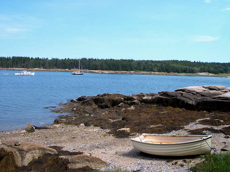
 We
dropped the anchor in 9' of water near the head of the cove at about 1030, an
hour or two before low tide, choosing our position carefully to allow us to
swing in other directions if the wind shifted. What a pretty place...lots
of bold granite, spruce-ringed islands, and a view of the western side of Mount
Desert in the background. Very pleasant. We
dropped the anchor in 9' of water near the head of the cove at about 1030, an
hour or two before low tide, choosing our position carefully to allow us to
swing in other directions if the wind shifted. What a pretty place...lots
of bold granite, spruce-ringed islands, and a view of the western side of Mount
Desert in the background. Very pleasant.
With the anchor set, we both got
into the dinghy for an exploratory row up past the navigable portion of the
harbor--it continues well 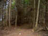 beyond
the deeper water into a very tidal area. We rowed all around, exploring
the various tributaries and inspecting at closed range the barnacle-encrusted
granite rocks. Later, after lunch aboard, we rowed into Buckle Island and
walked around some of the paths on the southern end of the island,
circumnavigating about half the island. Maybe tomorrow we'll do the other
half. The interior of the island was remarkably thick with brush and
trees, and straying off the path was not an option. beyond
the deeper water into a very tidal area. We rowed all around, exploring
the various tributaries and inspecting at closed range the barnacle-encrusted
granite rocks. Later, after lunch aboard, we rowed into Buckle Island and
walked around some of the paths on the southern end of the island,
circumnavigating about half the island. Maybe tomorrow we'll do the other
half. The interior of the island was remarkably thick with brush and
trees, and straying off the path was not an option.
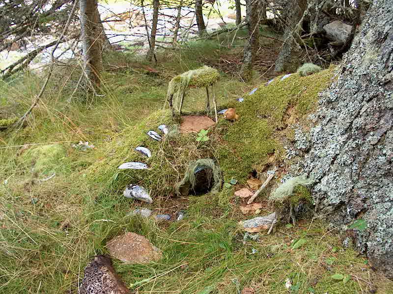
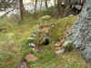 We
found that apparently there are little "Buckle Island Gnomes" who live
on the island, building these cute little shelters of mussel shells and
moss. We noticed several of these abodes as we wandered about but, alas,
none of the wily little creatures showed their faces. We
found that apparently there are little "Buckle Island Gnomes" who live
on the island, building these cute little shelters of mussel shells and
moss. We noticed several of these abodes as we wandered about but, alas,
none of the wily little creatures showed their faces.
As we returned to the boat, the
sky began to cloud over and the wind picked up a bit, marking the passage of yet
another minor cold front. Late in the afternoon, a pretty wooden yawl--one
that we had actually seen the d ay before in Frenchboro--sailed in under full
sail (too much for the wind strength). The yawl was crewed by a young
group of enthusiastic, if somewhat reckless, folks--I wondered if it was some
sort of sail training thing. They made quite a show of sailing at a brisk
6 knots under full sail into the narrow harbor, backing their sails and turning
the boat around through some pretty tight turns. (Major
showoffs...). It turned out that the ghost powerboat was their companion of
sorts. With much ado and slatting sails and backing of sail, as well as
sailing far closer to the shore and rocks than I would have, they dropped
one person off on the powerboat, then stormed off again with the powerboat
following shortly behind.
The wind got kind of nasty later
in the afternoon, and continued through the night--probably 15-20 knots out of
the south, with higher gusts. Hardly a gale, but a fair bit of wind for
nighttime nonetheless. The wind continued through most of the night,
making for a somewhat uncomfortable sleep--there were no waves, but the howling
gusts don't make for the most restful of conditions. It was very dark,
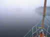
since there are no shore lights here. At about 0430 or so, the wind
finally died, and a thick fog set in. It was nice and quiet, and a
pleasant change after the noise of the wind overnight.
Saturday 8/3: Buckle
Island Harbor Detail
Chart
 I slept in till 0800, a near
record for me, since I had been up a bit during the wind of the night. The
thick fog remained in place, along with flat calm conditions, for the bulk of
the morning, which didn't bother us since we had pretty much planned on spending
the day here anyway. A relaxing morning ensued, and the fog slowly
cleared. Shortly after an early lunch, the fog disappeared completely and
the sun came out, making for a simply perfect relaxing summer afternoon.
It was warm, bright sun, and very light winds. We read, did some boat
chores, and rowed to one of the small islands for a small explore and a swim in
the relatively warm water near the rocks. It felt great! The only
problem was that the bottom became extremely soft a little ways off the rocks,
sucking our feet down into the muck. I slept in till 0800, a near
record for me, since I had been up a bit during the wind of the night. The
thick fog remained in place, along with flat calm conditions, for the bulk of
the morning, which didn't bother us since we had pretty much planned on spending
the day here anyway. A relaxing morning ensued, and the fog slowly
cleared. Shortly after an early lunch, the fog disappeared completely and
the sun came out, making for a simply perfect relaxing summer afternoon.
It was warm, bright sun, and very light winds. We read, did some boat
chores, and rowed to one of the small islands for a small explore and a swim in
the relatively warm water near the rocks. It felt great! The only
problem was that the bottom became extremely soft a little ways off the rocks,
sucking our feet down into the muck.
We shared the harbor with a dozen
other boats (all sail) for the night, all of which anchored quite a ways away
from us, thankfully. We had some fun watching the anchoring escapades of a
couple of the boats, whose crews seemed remarkably--and
frighteningly--inept. One big boat came in with a bossy wife on board, who
always talked loudly--which of course was audible through the whole
harbor. What an annoying woman...and they had no clue. Fortunately
they remained a ways away from us. I felt bad for her husband. The
port on their boat said "Brooksville, ME", but they were definite
snowbirds who obviously retired here from some lesser location...they fit in
about as well as I might fit in with the suits at some big corporate board
meeting in the heart of New York City.
The evening was beautiful until
about 1900, when the fog began to roll back in to our harbor. It had been
coming in on either side for much of the early evening--you could see it against
the mountains of Mount Desert, as well as out in Jericho Bay. We retreated
below for a nice evening and early, as usual, to bed.
Thus endeth the log for week
three. Please click here to continue to week 4.
|